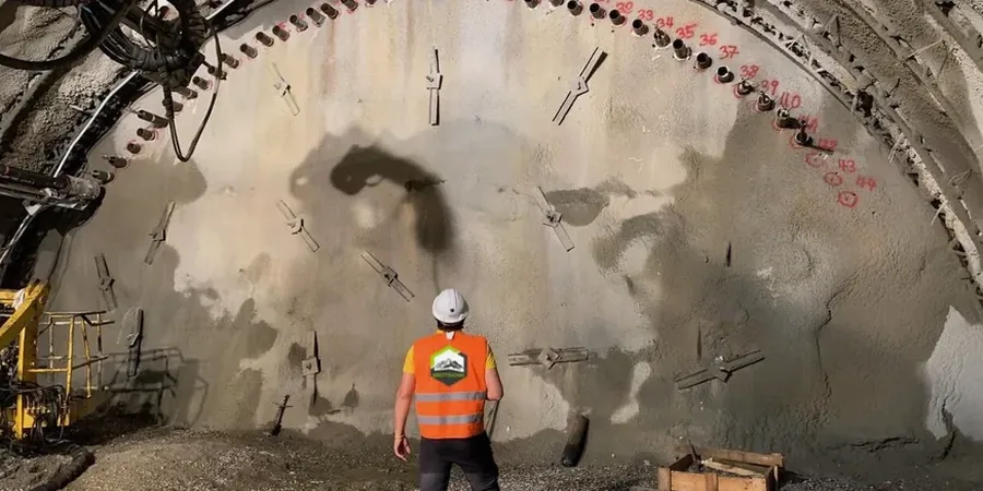
A deep excavation on Baseline Road started showing unexpected movement last fall. The general contractor depended on visual checks. We installed three inclinometers and two settlement points within 48 hours. The data revealed a 4 mm lateral shift near the shoring wall. Immediate load adjustments stopped the displacement before it reached the neighboring foundation. Clarington’s variable glacial till, with lenses of sand and silt, makes excavation response unpredictable. Our geotechnical excavation monitoring program deploys automated total stations, tiltmeters, and piezometers to track real-time ground behavior. We also cross-check readings with a CPT test when changes in soil stiffness are suspected, and combine surface data with MASW profiles to verify shear-wave velocity behind the wall.
Real-time inclination data from a Clarington site last year caught a 3 mm shift that would have been invisible to the naked eye by morning inspection.
Methodology and scope
Local considerations
In Clarington, we often see excavation support designed with borehole data from a single point on a large lot. The till here can change from stiff clayey silt to loose saturated sand within 15 meters. That transition zone is where most monitoring surprises happen. A shoring wall performs differently when groundwater pools in a sand lens behind the soldier piles. Without continuous geotechnical excavation monitoring, the first sign of trouble is a crack in the sidewalk or a leaning utility pole. By that point, remediation costs multiply. We track pore-water pressure response during dewatering. We also measure vibration from hoe-ramming near heritage buildings in Bowmanville’s older blocks. Early data lets the team adjust dig sequence or add anchors before a problem becomes a claim.
Applicable standards
CSA A23.3-14: Design of Concrete Structures (shoring references), ASTM D6230-13: Standard Guide for Monitoring Ground Movement, Ontario Provincial Standard OPSS 120 (vibration criteria)
Associated technical services
Automated Total Station Arrays
Robotic total stations with 360° prisms mounted on shoring walls and adjacent buildings. Data streams to a web portal with SMS alarm triggers when movement exceeds preset thresholds.
In-Place Inclinometer Strings
MEMS-based IPI strings installed behind soldier piles or diaphragm walls. Continuous tilt profiles detect shear zones developing within the soil mass before they reach the surface.
Vibration & Crack Monitoring
Triaxial geophones for blasting or compaction vibration. LVDT crack gauges on sensitive structures. All readings time-stamped and correlated with construction activity logs.
Typical parameters
Frequently asked questions
What parameters does geotechnical excavation monitoring typically track in Clarington?
We track lateral wall deflection with inclinometers, surface settlement with optical survey points, groundwater pressure with vibrating-wire piezometers, tilt with biaxial tiltmeters, and vibration velocity with triaxial geophones. Crack width on adjacent structures is monitored with LVDT gauges. All data gets correlated with excavation depth and dewatering activity.
How much does a monitoring program for a residential excavation cost in Clarington?
A basic program with a few settlement points, a manual inclinometer casing, and weekly readings typically ranges from CA$1.030 to CA$2.970 depending on instrument count, monitoring frequency, and reporting requirements. Automated systems with cloud access and alarm triggers are quoted separately based on sensor density.
Do you need to monitor a shallow excavation for a single-family home in Clarington?
Most single-family excavations under 3 m depth do not require formal instrumentation under the Ontario Building Code. However, if the excavation is within 2 m of an existing structure or on a slope, we recommend at least two settlement points and a crack gauge on the adjacent wall. Shallow cuts in loose sand lenses common in Clarington’s till can still cause damage.
How is the monitoring data delivered to the project team?
We provide a secure cloud dashboard updated at the configured interval, typically every 15 minutes for automated systems. Weekly PDF reports with plots of displacement versus time and excavation depth are standard. Immediate phone alerts go out if any sensor exceeds the pre-agreed threshold value.