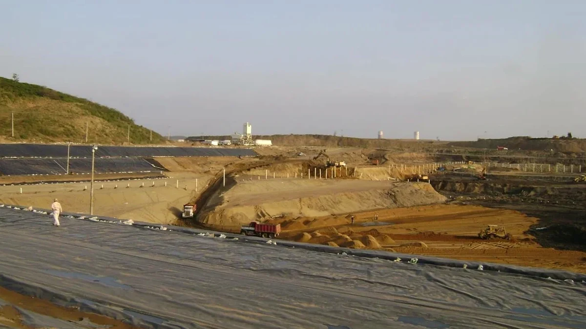
In Clarington, we often see excavation plans that underestimate the sheer variability of the local till. You can move from a stiff, overconsolidated clay to a fractured shale contact within the same site, and that transition zone is where groundwater finds a path and shoring systems get overloaded. Our laboratory team sees the cores from these contacts every week, and the data drives a design logic that is specific to this municipality. We combine field investigation results—particularly from SPT drilling that delineates refusal depth—with laboratory strength testing to build a ground model that actually represents what the excavator will encounter, not just a textbook profile. This approach is what keeps a Clarington excavation dry, stable, and on schedule even when the till surprises you.
Deep excavation in Clarington is not about digging a hole—it is about managing the groundwater pressure that the Newmarket Till holds under a crust of dessicated clay.
Methodology and scope
Local considerations
The NBCC 2020 assigns Clarington a 2% in 50-year spectral acceleration that demands rigorous shoring design, but the bigger operational risk we see is groundwater drawdown triggering settlement of adjacent slab-on-grade homes. Much of the Courtice residential stock is founded on stiff till with a seasonal perched water table, and when you dewater a deep excavation for a mid-rise building, the radius of influence can extend 80 meters or more. We have analyzed cases where a poorly designed sump-and-pump system dropped the piezometric level enough to desiccate the clay beneath neighboring garages, causing differential settlement cracks in as little as three weeks. Our design package includes a drawdown impact assessment with monitoring trigger levels, because in a community like Clarington where property lines are tight, the geotechnical risk is as much about what happens outside the site as inside the hole.
Explanatory video
Applicable standards
NBCC 2020 (Division B, Part 4 – Structural Design), CSA S6:19 (Canadian Highway Bridge Design Code – temporary works provisions), ASTM D4767-11 (Consolidated-Undrained Triaxial Compression Test), FHWA-NHI-10-016 (Earth Retaining Structures and Soil Nail Walls)
Associated technical services
Shoring System Analysis and Wall Design
We model soldier pile, secant, and diaphragm wall options using finite-element software with staged-construction sequencing. The analysis accounts for Clarington’s typical till-over-shale profile and includes pre- and post-excavation groundwater conditions.
Tieback and Internal Bracing Design
Where property boundaries prevent external anchoring, we design internal bracing frames or rakers. Tieback bond lengths are verified against in-situ permeability tests to ensure grout-to-ground capacity in fractured shale.
Dewatering and Drawdown Impact Assessment
We design temporary dewatering systems and predict the radius of influence using 2D seepage models. The report includes monitoring thresholds and contingency measures to protect adjacent structures on shallow foundations.
Construction-Phase Instrumentation Plan
We specify inclinometer, piezometer, and survey-point arrays with baseline readings and alarm values. The plan is structured as a practical field document that Clarington site superintendents can follow daily without specialized training.
Typical parameters
Frequently asked questions
What is the typical cost range for a deep excavation design in Clarington?
For a standard commercial or multi-residential excavation in Clarington, the geotechnical design package typically runs between CA$2,990 and CA$11,660 depending on depth, shoring complexity, and instrumentation requirements. A 6-meter soldier-pile wall with one tieback level will be at the lower end; a 15-meter secant pile wall with internal bracing and full drawdown modeling will be at the higher end. We provide a fixed-fee proposal after reviewing your architectural basement plan and the existing soils report.
How do you account for the fractured shale bedrock that we hit at six meters depth in Bowmanville?
We treat the Lindsay Formation shale as a discontinuous rock mass and assign an RQD-based modulus reduction factor. Where the RQD drops below 50 percent—common in the upper weathered zone—we switch from a rock-socketed wall design to a soil-like analysis with increased earth pressure coefficients. We also run joint-set orientation checks to confirm that the excavation face is not parallel to a dominant fracture set, which could trigger wedge failure even at moderate depths.
Can you design an excavation support system that avoids tiebacks if the neighboring property owner refuses permission?
Yes, this is a frequent constraint in Clarington’s dense infill lots. Our standard alternatives include cantilevered secant pile walls for excavations up to approximately 5 meters, or internally braced systems with corner struts and walers for deeper cuts. We model the bracing preload and thermal expansion effects so the contractor knows exactly what forces to expect during a summer-to-winter construction cycle.
What instrumentation do you require during excavation to protect the house next door?
For an excavation adjacent to a residential structure in Clarington, we typically specify two inclinometer casings behind the wall, at least three vibrating-wire piezometers at different depths to track drawdown, and optical survey prisms mounted on the neighboring foundation wall. Baseline readings are taken before mobilization, and we set yellow and red alarm thresholds tied to deflection rate and cumulative movement. The data is reviewed by our engineer of record on a weekly basis during bulk excavation.