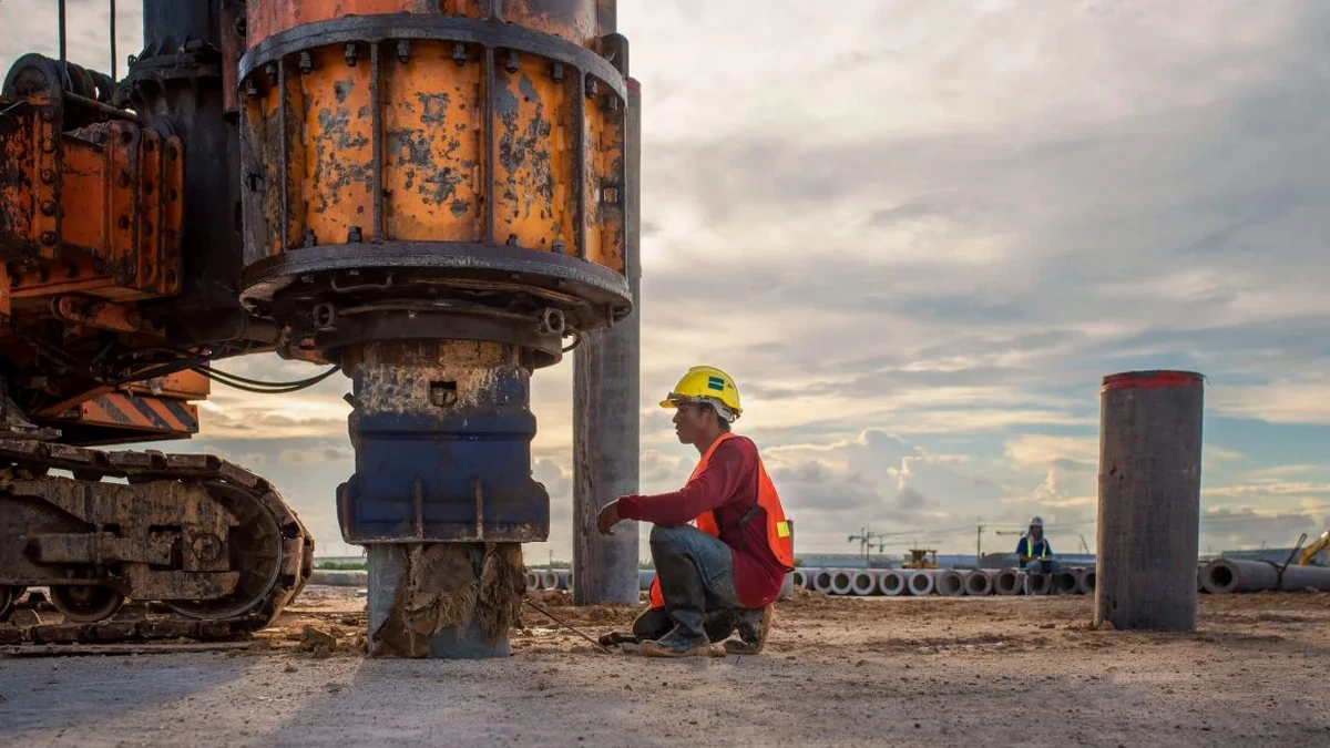
The glacial till plains and Lake Iroquois shoreline deposits that define Clarington's geology create a patchwork of subsurface conditions where seismic site classification is rarely straightforward. A site near the Bowmanville Creek floodplain can register Class D soils while bedrock lies less than five meters below a drumlin ridge just two kilometers away, and that variation directly impacts the seismic design forces a structure must resist under the National Building Code of Canada. Rather than relying on conservative default assumptions that inflate foundation costs, developers and structural engineers across the municipality now integrate MASW testing early in the geotechnical program to measure Vs profiles in situ and assign defensible, code-compliant site classes. When combined with SPT drilling for stratigraphic ground-truthing and sample recovery, the resulting dataset lets the design team justify lower spectral accelerations where the velocity profile supports it, often reducing the structural steel tonnage or concrete volume required for lateral force resistance.
A defensible Vs30 profile from MASW data can reduce spectral accelerations enough to strip tens of thousands of dollars from a project's structural frame while keeping the NBCC review authority fully satisfied.
Methodology and scope
Local ground factors
Clarington's development pattern has pushed new subdivisions onto the flanks of the Oak Ridges Moraine and into former agricultural lowlands where the overburden thickness can swing from three to over forty metres across a single lot. In the 1990s, several light industrial buildings in the Courtice industrial park were designed using generic Class C assumptions that later proved unconservative when deeper investigation revealed compressible glaciolacustrine silts at depth — a mismatch that cost owners in retrofit bracing after the fact. Assigning a site class without measured shear wave velocity data is essentially a gamble on the continuity of stratigraphy, and the NBCC 2020 commentary explicitly encourages direct measurement for structures in Seismic Category 3 and above. Beyond the obvious safety implication, an underestimated site class inflates the seismic base shear and drives up the cost of moment frames, shear walls, and foundation reinforcing for no engineering benefit, while an overestimated class leaves the structure vulnerable to spectral demands it was never designed to meet.
Relevant standards
NBCC 2020, Division B, Part 4 — Seismic Design Provisions, Table 4.1.8.4.A Site Classification, ASTM D5777-18 — Standard Guide for Using the Seismic Refraction Method for Subsurface Investigation (referenced for array geometry quality assurance), CSA A23.3-19 — Design of Concrete Structures (seismic provisions referencing site class input), and Ontario Building Code O.Reg. 332/12, Division B, Part 4 — structural design adopting NBCC seismic provisions.
Associated technical services
Single-Line MASW Survey
One 46-metre array positioned at the building footprint centroid or along the longest foundation axis. Delivers Vs30, site class per NBCC, and a 1D velocity profile to 30 metres. Suitable for low- to mid-rise structures on relatively uniform terrain.
Multi-Line 2D MASW Profiling
Two or three orthogonal arrays gridded across the site to map lateral velocity variations. Recommended for large-footprint buildings, sites with known paleochannel features, or where the water table and compressible layer depth vary across the parcel.
Combined MASW + HVSR Passive Survey
Active MASW supplemented with horizontal-to-vertical spectral ratio (HVSR) recordings using a three-component seismometer. Extends the velocity profile below 50 metres for tall-building projects and provides fundamental site period data useful for soil-structure interaction analysis.
Typical parameters
Common questions
How much does a MASW Vs30 survey cost for a typical residential or commercial lot in Clarington?
Does the NBCC accept MASW results directly for site classification?
Yes. The NBCC 2020 commentary recognizes direct measurement of shear wave velocity — including MASW — as the preferred basis for assigning site class per Table 4.1.8.4.A. The key requirement is that the geotechnical engineer of record reviews and stamps the Vs30 value, and that the survey documentation includes raw dispersion curves and inversion parameters so the result is reproducible and auditable.
How long does a MASW survey take on site and when do we get the report?
Fieldwork for a single-line array typically takes two to three hours including layout, calibration shots, and demobilization. Multi-line surveys or those requiring passive HVSR recordings may extend to a full day. The processed report with Vs30, site class, and the 1D velocity profile is delivered within five to seven business days, though we can expedite to 48 hours when the structural design schedule demands it.
Can MASW be performed on paved or concrete surfaces, or does the site need to be bare ground?
MASW works effectively on asphalt, compacted gravel, and short grass — the critical factor is good geophone coupling with the ground surface. On hard pavement we use steel base plates with gypsum paste or drilling to set spikes. Concrete slabs that are structurally discontinuous from the underlying soil can introduce ringing in the waveform; in those cases we either core small access holes for geophone placement or shift the array to adjacent unpaved areas that remain representative of the building footprint.
What is the difference between MASW and seismic refraction for getting Vs30?
Seismic refraction measures P-wave and S-wave travel times through layer boundaries and works best where velocity increases with depth — it struggles with velocity reversals like a soft clay beneath stiff crust, which is exactly the scenario we encounter across much of Clarington's glacial stratigraphy. MASW uses surface wave dispersion, which is insensitive to velocity inversions and directly resolves the shear wave velocity structure regardless of layering order. For NBCC site classification, MASW is generally the more solid method in the glacial till and lacustrine deposits typical of this region.